Module 6- Geoprocessing with Python

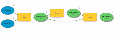
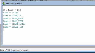
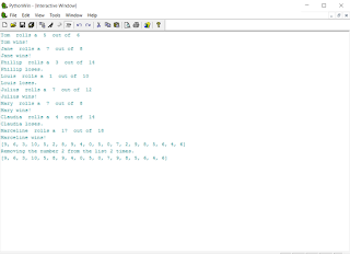
In this module we learned how to perform geoprocessing tasks using Python and the syntax for using tools and toolboxes from ArcMap. The lab required to perform three geoprocessing tasks: Add XY coordinates to a shape file. Create a buffer of 1000 meters for the shape file. Dissolve the buffer into a separate feature. Each task also had to print the messages form every tool using the GetMessages() function. Below is a simple model of what was done in the script. This interactive window shows the script's final output messages.