GIS5100 Week 8-9: Planning-- Participation Activity
As part of our section in Planning, we completed this additional exercise in learning where to search for local parcel data in our city and what type of information is necessary to conduct a parcel report.
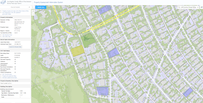
There are a few property appraisers in Los Angeles County, it seems. This one offered some free map data services here. While did not provide a filter to narrow down highest priced properties by year. I did find a property that sold for 17 million last year in the Beverly Hills area. The current assessed land value is $7,263,892. No previous sale price is included in this assessment.
While there's limited information about recently sold properties, there is an assessor's map for this property here. It was interesting to learn that the County updates Parcel data on this site once a year in late July once the Assessor’s Roll Release is complete. This site is fairly limited, all things said. For example, I am unable to view much data about other nearby parcels that are not highlighted in a color, and the website only displays unverified single-parcel sales.
The second part of this assignment served as practice to become familiar with fields found in a Parcel file attribute table. Its purpose was to identify Land Values within the West Ridge property area.

There are a few property appraisers in Los Angeles County, it seems. This one offered some free map data services here. While did not provide a filter to narrow down highest priced properties by year. I did find a property that sold for 17 million last year in the Beverly Hills area. The current assessed land value is $7,263,892. No previous sale price is included in this assessment.
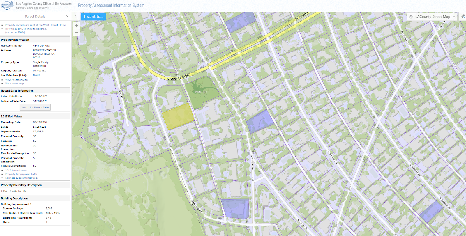
While there's limited information about recently sold properties, there is an assessor's map for this property here. It was interesting to learn that the County updates Parcel data on this site once a year in late July once the Assessor’s Roll Release is complete. This site is fairly limited, all things said. For example, I am unable to view much data about other nearby parcels that are not highlighted in a color, and the website only displays unverified single-parcel sales.
The second part of this assignment served as practice to become familiar with fields found in a Parcel file attribute table. Its purpose was to identify Land Values within the West Ridge property area.

It appears there's an overwhelming number of parcels that are high in value. Any account with inaccuracies or outdated information needs to be reviewed. Additionally, any land that is significantly low in property value. It may indicate a vacant lot, these should be labeled properly.


Comments
Post a Comment